
The Inca Trail
This is undoubtedly Peru’s most popular trekking route. Recommended for the physically fit only, it runs for more than 40km and reaches 4,200 metres above sea level (masl). at its highest point, that is the Warmiwañuska or Dead Woman’s Pass.

The stone-paved trail, discovered in 1960 and part of the more than 23,000 km of roads built by the Incas across South America, crosses a remarkable range of natural landscapes and eco-systems, from thick tropical jungle to the bear, unwelcoming rocks of the Andean mountains. It’s regarded by many as the most beautiful walk in South America.
The Trail takes three to four days of tough hiking and can be commenced at Chillca (Kilometre 76 of the Cusco-Machu Picchu railway) or, most frequently, at Qorihuayrachina, (Kilometre 88 of the railway).
The first day is relatively easy and includes the route to the Inca ruins of Cusichaca, Q’ente, Pulpituyoc and Llaqtapata, a site used for crop production, which remains well preserved. The second day is the hardest of all, mainly because the ascent becomes increasingly steep. The trail follows original Inca stonework that climbs uphill, ending just short of the actual Warmiwañuska or Dead Woman’s pass, at 4,200 (masl).
The crossing of the pass opens (day three), after camping in the Pacaymayo valley. From here it’s downhill. The Trail descends into the valley and heads to the restored site of Runkuraqay, a small Inca watch post and then to Sayaqmarka, perched upon a sheer cliff, from where one can see the start of the massive Amazon rainforest, stretching to Brazil. The final day is another relatively easy day, mostly descending and passing through lush jungles and cloud forests before reaching Machu Picchu, Peru’s most important tourist site, through the Inti Punku or Gateway of the Sun.

Before going on the trail you should spend at least 48 hours in Cusco acclimatising as it features some tough hiking, including several hours over 3,500 (masl). Acute mountain sickness (altitude sickness) could make your first few days pretty uncomfortable.
During the high season, from June to August, you should book well in advance, at least 3 months, as the number of trek permits issued is limited to 500 per day (including tour guides and porters).
Other trekking routes:
The Royal or Sacred Path
Just before arriving at Aguas Calientes, at km. 104 of the train rails, this path takes the direction to Phuyupatamarca, climbing up terraces and stone stairs. After 2 hours of hiking, you arrive at the recently discovered and beautifully Wiñay Wayna ruins.
Located on a steep mountain slope and looking over the Urubamba river, Wiñay Wayna is a good example of Inca terrace architecture. The name means “forever young” in Quechua but experts still disagree upon the meaning, some consider it refers to the colourful orchids that populate the surroundings, while others say the name alludes to the Inca rites and ceremonies celebrated in the complex.
The path then converges with the Inca Trail, arriving at Machu Picchu via the Sun Gate, Inti Punko. The route takes some 6 hours and can be done as an alternative to the Inca Trail if the latter is deemed too harsh. A permit is needed for this route.
The Purification Trail
Part of the Inca Trail system, this route has been recently discovered by archaeologists. It starts at km. 107 of the railway track (3km upstream from Aguas Calientes), near the hydroelectric exit pipe.
After crossing the suspended bridge, it follows the Choquesuisui gully and ascends until it meets the Inca Trail near Wiñay Wayna. The name “Purification Trail” refers to the descending pools formed by the stream that runs alongside the path.

The Putucusi Hike
This dangerous and demanding 3-hour hike (round trip) brings a great reward, the spectacular view of the Machu Picchu landscape. Putucusi (“happy mountain” in Quechua) is a round-shaped mountain that reaches 2,600 (masl) at its peak and is located across the valley from the Inca citadel.
This is a demanding hike (only possible during the dry season, March to November), which involves steep ladder climbs and slippery scrambling. Some ladders, stacked into the wall, even go up for 20 meters at almost a 90-degree inclination.
Recommended for people with a good level of physical fitness only.
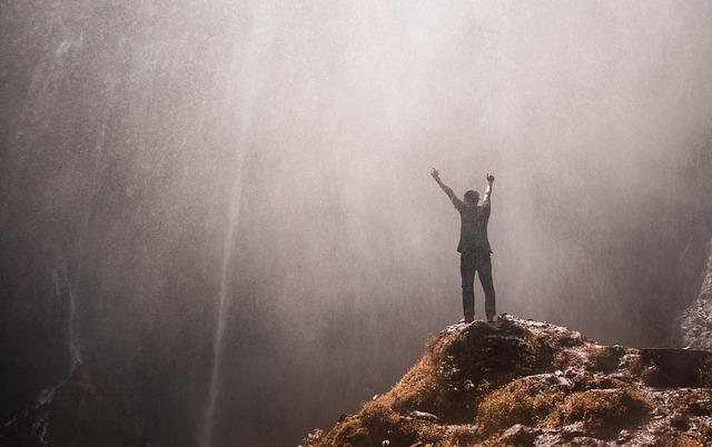
Whether you intend to take on an ambitious adventure, such as this, or just to visit your neighbouring town, planning a trip in advance will give you the best chance of getting the maximum from the experience.
More fantastic places to tour for lovers of the great outdoors


Leave a Reply